
The mining time machine
Forty years of the world's great mines, seen from orbit. Each district has one clear satellite picture every five years since the mid-1980s, all on one grid, under a slider: watch a pit open in empty desert, a forest give way to iron, a century-old mine keep widening. Production, milestones and old photos follow the year.
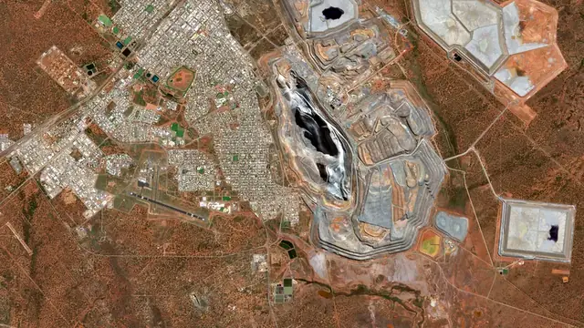
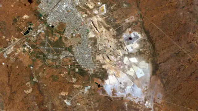 20251986Kalgoorlie Super PitThe Golden Mile's old leases become one open pit, 3.5 km long.1986 to 2025 · Australia
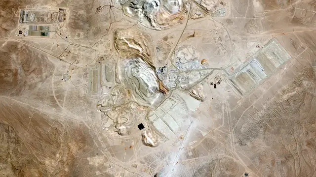
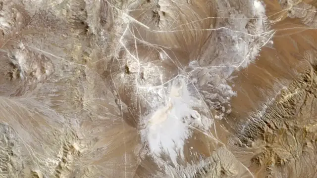 20251986EscondidaFrom an empty Atacama valley to the world's biggest copper mine.1986 to 2025 · Chile
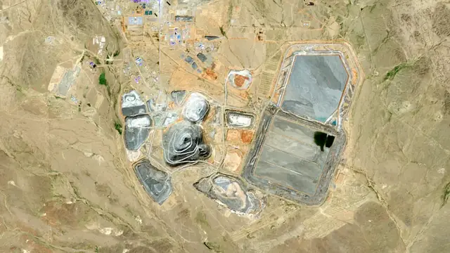
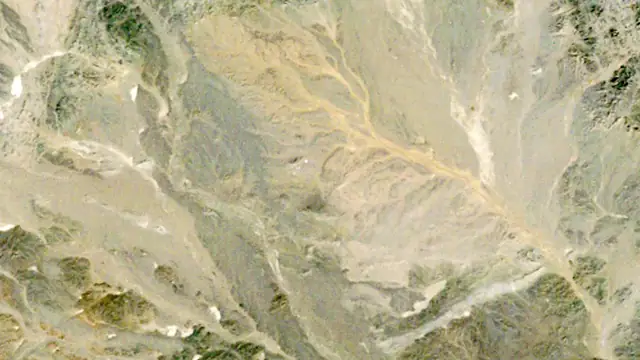 20251986Oyu TolgoiNothing for twenty-five years, then a whole mine in ten.1986 to 2025 · Mongolia
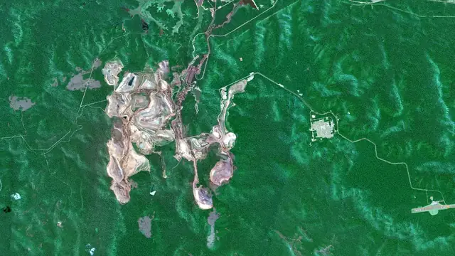
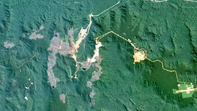 20251984CarajásRed iron pits open into the Amazon forest from 1984.1984 to 2025 · Brazil
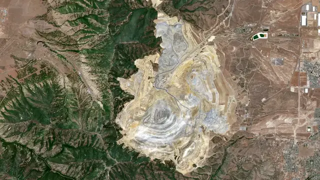
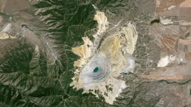 20261986Bingham CanyonMined since 1903 and still widening.1986 to 2026 · United States
How to use it
Open a district and drag the timeline, or press Play. Compare puts two years side by side under a divider. On Kalgoorlie, Bingham Canyon and Carajás the worked-ground layer shades the ground the mine has dug, dumped on or built over by each year; on Kalgoorlie the tenements appear in the year they were granted. Every view has its own link, so the Share button sends someone straight to the year you are looking at.
Where the pictures come from
Landsat (USGS and NASA, public domain) from 1984, and Copernicus Sentinel-2 from 2017, read from Microsoft's Planetary Computer and processed by us. The archive photos are public domain or Creative Commons, credited on each page. For the stories behind these mines, see the history of mining, the copper giants and the largest mines in the world.
Pictures and figures as published by their sources; worked-ground areas are our own estimates from the pictures. Not investment advice.